


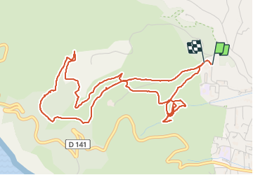

21 km | 26 km-effort

Benutzer


Kostenlosegpshiking-Anwendung
 SityTrail
IGN / Geografische Institute
SityTrail World
Die Welt öffnet sich für Sie
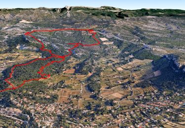
Tour Wandern von 7,3 km verfügbar auf Provence-Alpes-Côte d'Azur, Bouches-du-Rhône, La Ciotat. Diese Tour wird von cousam vorgeschlagen.
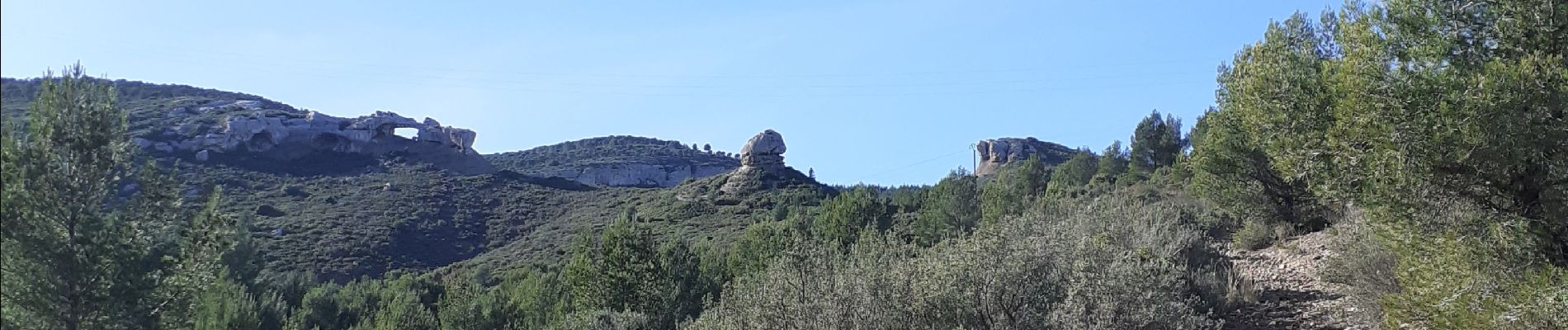
Boucle par la dent du chat , l'arche de Terrevaine, Bau Rous et les grottes de Fardeloup (attention passage engagée avec cordes fixe usagées)


Rennrad

Wandern

Wandern

Wandern

Wandern

Wandern

Wandern
Wandern

Wandern